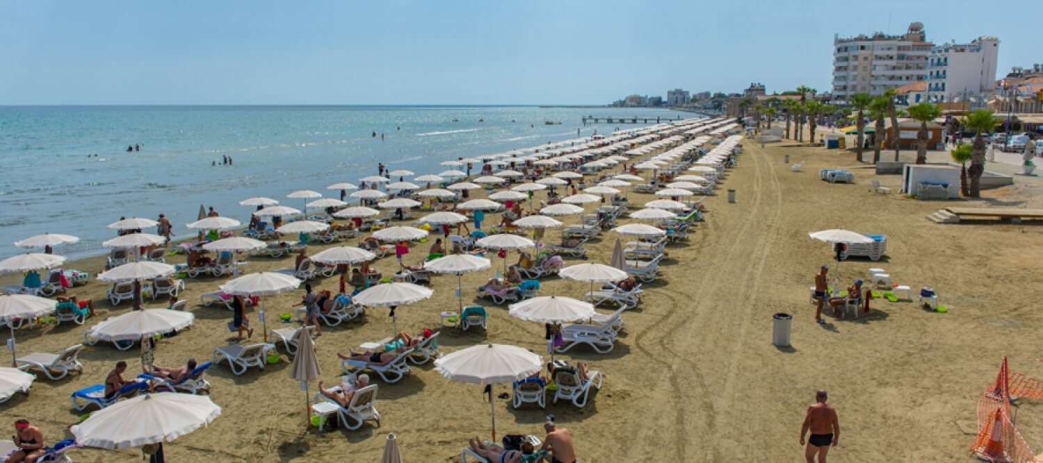
Route Description: This route is an alternative for going from Larnaka to Lefkosia or vice versa. The monotony of travelling only on paved roads is broken by going through several villages allowing for a little sightseeing and rest.
To download the route in gpx format click here
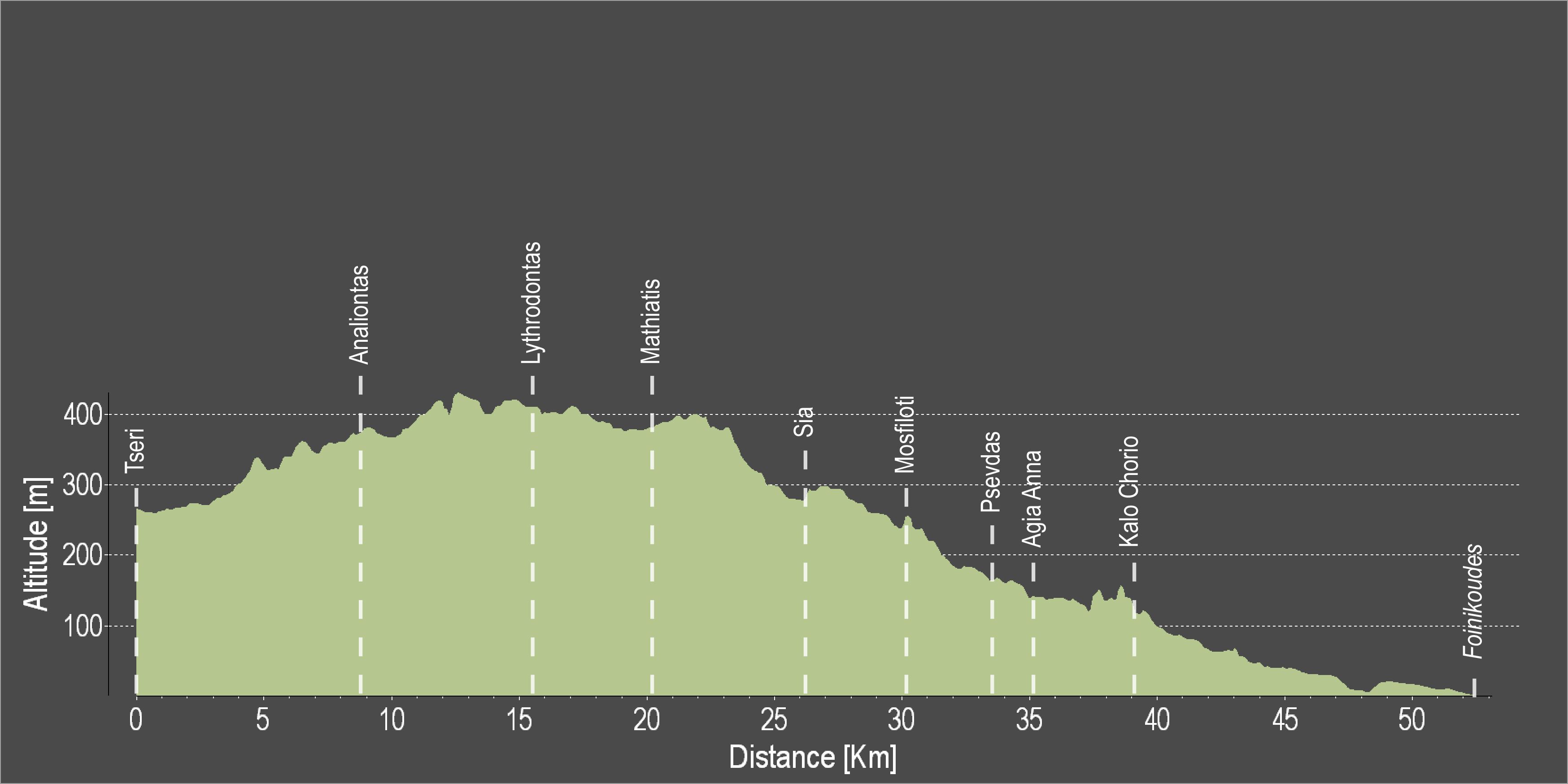
| Distance: | 52.1km |
| Elevation Gain: | 368m |
| Highest point: | 430m |
| Lowest point: | 4m |
| Loop: | NO |
| Terrain: | Mixed |
| Road surface: | Paved |
| Section Distance (km) | Total Distance (km) | |
| Tseri | 0,0 | 0,0 |
| Analiontas | 8,7 | 8,7 |
| Lythrodontas | 6,7 | 15,4 |
| Mathiatis | 4,8 | 20,2 |
| Sia | 6,0 | 26,2 |
| Mosfiloti | 3,9 | 30,1 |
| Psevdas | 3,4 | 33,5 |
| Agia Anna | 1,8 | 35,3 |
| Kalo Chorio | 3,8 | 39,1 |
| Kalo Chorio grade separated junction | 3,6 | 42,7 |
| Larnaka Fire Department traffic lights | 4,9 | 47,6 |
| Foinikoudes | 4,5 | 52,1 |