| GPS coordinates of the starting point: | Lat: 34.951404 Lon: 32.999168 |
| GPS coordinates of the ending point: | Lat: 34.951404 Lon: 32.999168 |
| Altitude of the starting point: | 1,582m |
| Altitude of the highest peak: | 1,582m |
| Altitude of the end peak: | 1,582m |
| Starting point: | Close to the Madari fire lookout tower, near the ending point of the Doxa soi o Theos - Madari trail. |
| Length: | 3km |
| Estimated duration: | 1.5 hour |
| Difficulty rate: | 3 |
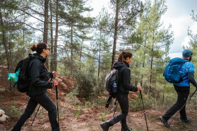
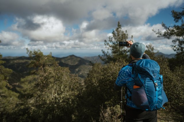
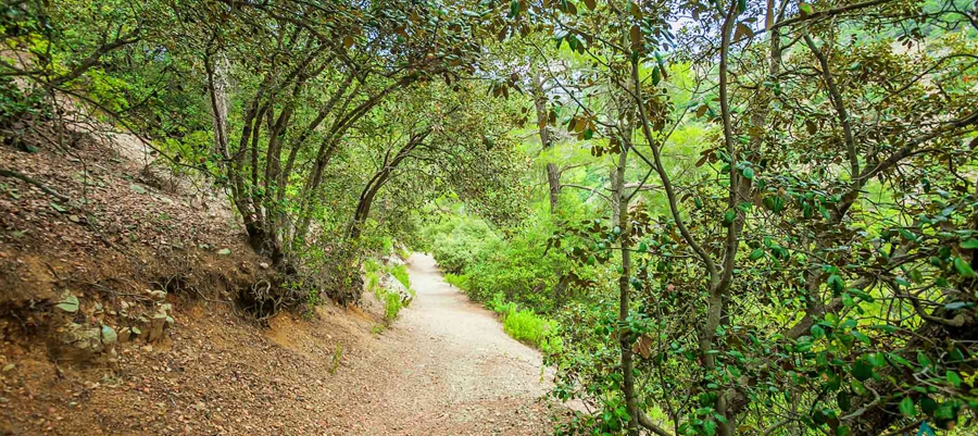
Points of interest: There are tall, impressive cliffs along the trail, as well as areas of geological interest. You will also encounter beautiful views of the Mesaoria Plain and Morfou Bay. The trail connects with the Madari - Doxa soi o Theos trail and the Madari - Selladi tou Karamanli trail. The path is at an altitude of 1,600 metres. At the highest point of Adelfoi mountain (1,613 metres), you will find the Madari fire lookout tower.
Flora: While hiking you can study the endemic plants: Troodos rose (Rosa chionistrae), Troodos catmint (Nepeta troodi), Star of Bethlehem (Ornithogalum chionophilum), Chamomile (Anthemis plutonia), ‘Manouthkia’ (Pterocephalus multiflorus subsp. multiflorus – an evergreen small shrub with pale pink flowers), Golden oak (Quercus alnifolia), Cedar (Cedrus brevifolia), Cyprus crocus (Crocus cyprius), Thyme (Thymus integer).
Fauna: The main species of fauna found in the area are:
Mammals: Fox, hare, hedgehog.
Birds: Bonelli’s eagle, Eurasian jay, Wood pigeon, partridge, Cyprus warbler (endemic), Cyprus wheatear (endemic).
Reptiles: Cyprus viper, Cyprus lizard, Black whip snake