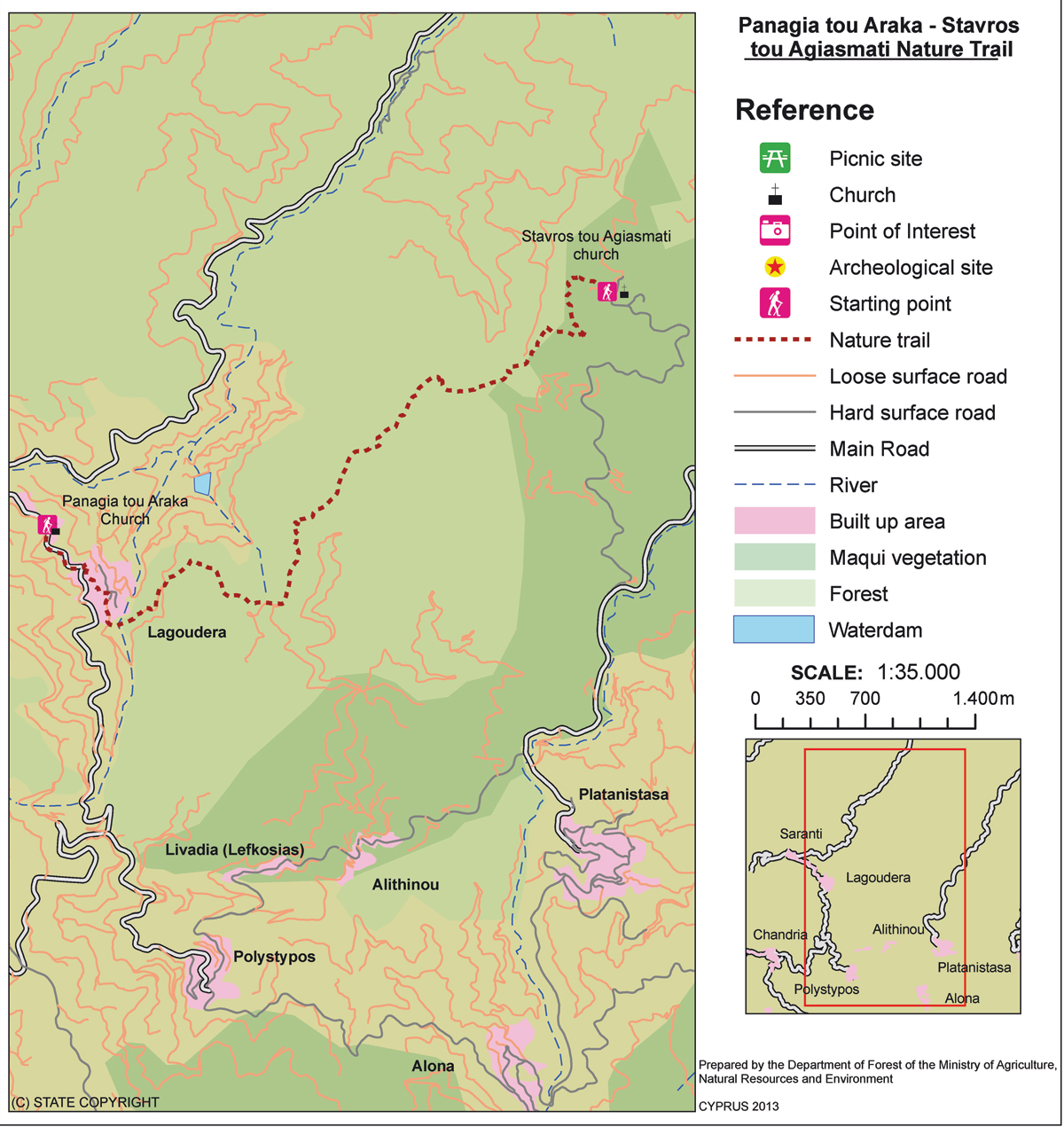
| GPS coordinates of the starting point: | Lat: 34.965616 Lon: 33.006824 |
| GPS coordinates of the ending point: | Lat: 34.978989 Lon: 33.045905 |
| Altitude of the starting point: | 1,035m |
| Altitude of the highest peak: | 1,164m |
| Altitude of the end peak: | 854m |
| Starting point: |
(a) Panagia tou Araka, Lagoudera (b) Stavros tou Agiasmati (8km from Platanistasa). |
| Length: | 7km |
| Estimated duration: | 3 hours |
| Difficulty rate: | 3 |
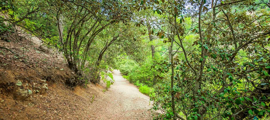
Points of interest: Of particular interest on this route are the churches of Panagia tou Araka (1192 AD) and Stavros tou Agiasmati (1494 AD) which boast outstanding frescoes and are UNESCO World Heritage Sites. The trail passes through a pine forest, vineyards, almond trees and old stone structures. To the east of the trail you will see Kionia peak. To the north you will see the Morfou plain and Pentadaktylos mountain range. To the west, you will see Troodos, and to the south you will see Madari. The trail connects with the Lagoudera or Agros - Madari trail. At the entrance of the Panagia tou Araka church you will find a 700 year old oak tree.
Flora: While hiking you can study the endemic plants: Thyme (Thymus integer), Shrubby knapweed (Ptilostemon chamaepeuce var. cyprius), ‘Manouthkia’ (Pterocephalus multiflorus subsp. multiflorus – an evergreen small shrub with pale pink flowers), Cyprus skullcap (Scutellaria cypria subsp. cypria).
Fauna: The main species of fauna found in the area are:
Mammals: Fox, hare, hedgehog.
Birds: Bonelli’s eagle, Wood pigeon, partridge, Cyprus warbler (endemic), Cyprus wheatear (endemic).
Reptiles: Cyprus viper, Cyprus lizard, Cyprus chameleon, Black whip snake